Garmin - eTrex Touch 3" GPS Handheld Outdoor Navigator with Preloaded Maps for North America and Built-In Bluetooth - Black
About this product
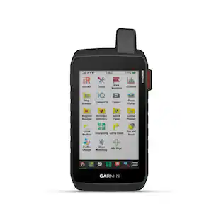
Tap into adventure with the rugged, easy-to-use eTrex Touch GPS handheld navigator. With a bright 3" high-resolution color touchscreen, it’s sunlight readable so you don’t miss a detail. It’s purpose-built for exploration in any weather (IP67 water rating) and comes with maps for trails and roads so you can easily swipe and zoom to follow your route. Add ongoing access to Outdoor Maps+ (sold separately) for a variety of premium mapping content, and get up to 130 hours of battery life in all satellite systems plus multi-band mode (assuming typical use with SatIQ technology) to enjoy all your favorite outdoor activities even more. Multi-band GPS support provides optimal positional accuracy, so you know exactly where you are. Use the Garmin Explore mobile app for convenient trip planning and more.
Features
Touchscreen
The slim, pocket-size handheld navigator features a bright 3-inch high-resolution color touchscreen so you can easily swipe and zoom to follow your route.
Rugged design
The eTrex Touch navigator is purpose-built with an IP67 water rating and impact-resistant (MIL-STD-810) design to withstand weather and rugged conditions.
Preloaded maps
View detailed TopoActive maps for roads and trails, and see terrain contours, topographic elevations, summits, parks, rivers, lakes and geographical points plus thousands of points of interest. Plus, get easy access to additional TopoActive mapping around the globe.
Outdoor Maps+
Purchase a subscription to Outdoor Maps+ for ongoing access to a wide variety of premium mapping content, including satellite imagery, campgrounds and more. Download and receive automatic updates via Wi-Fi technology.
Plan and review your trip
Connect with the Garmin Explore app to plan and review trip data on your smartphone or tablet and manage your waypoints, courses and activities.
Weather
Get real-time forecast information so you are aware of the changing conditions. This feature requires an active internet or Wi-Fi connection, or use of the Garmin Explore app on your paired smartphone.
Battery life
Get long battery life up to 130 hours in all satellite systems plus multi-band mode, assuming typical use with SatIQ technology; and up to 650 hours in expedition mode.
Specifications
- Screen Size3 inchesTouch ScreenYes3D-Map ViewYesTopographic MapsYesPoints Of Interest15000Programmable RoutesYes
Reviews
Rating 5 out of 5 stars with 1 review
The vast majority of our reviews come from verified purchases. Reviews from customers may include My Best Buy members, employees, and Tech Insider Network members (as tagged). Select reviewers may receive discounted products, promotional considerations or entries into drawings for honest, helpful reviews.

Compare similar products

Tap into adventure with the rugged, easy-to-use eTrex Touch GPS handheld navigator. With a bright 3" high-resolution color touchscreen, it’s sunlight readable so you don’t miss a detail. It’s purpose-built for exploration in any weather (IP67 water rating) and comes with maps for trails and roads so you can easily swipe and zoom to follow your route. Add ongoing access to Outdoor Maps+ (sold separately) for a variety of premium mapping content, and get up to 130 hours of battery life in all satellite systems plus multi-band mode (assuming typical use with SatIQ technology) to enjoy all your favorite outdoor activities even more. Multi-band GPS support provides optimal positional accuracy, so you know exactly where you are. Use the Garmin Explore mobile app for convenient trip planning and more.
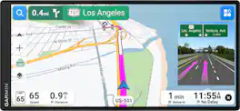
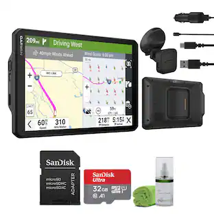
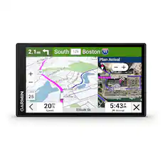
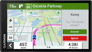
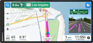
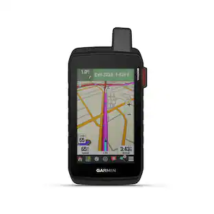
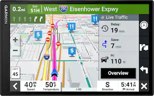
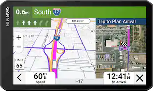
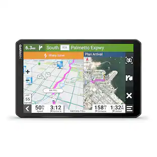
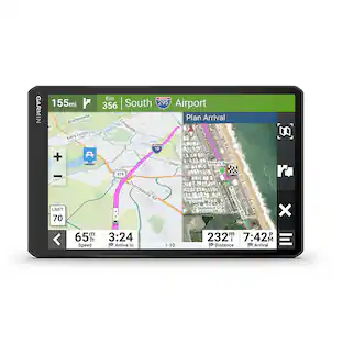
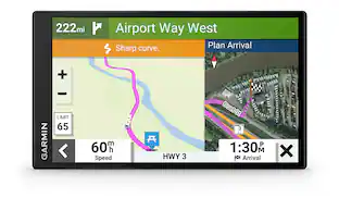
Simplify your drive with this Garmin Drive navigator. Featuring a low-profile design, see your route clearly on the ultrawide 7.1", edge-to-edge, high-resolution display. Find your way with easy-to-use maps and spoken turn-by-turn directions. For more situational awareness, see upcoming traffic signs and lights along your route, electric vehicle charging stations, driver alerts and more. When paired with the Garmin Drive app, get live traffic, weather and fuel prices; you can also send destinations directly from your smartphone to your Garmin Drive device.

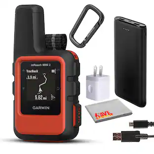
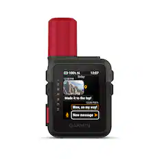
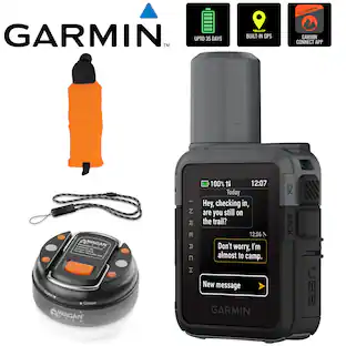
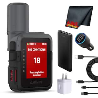
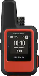
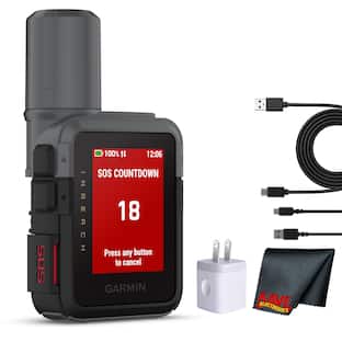
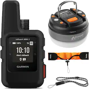
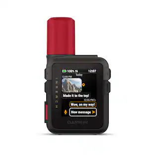
Home is closer than you think with inReach Mini 2. This compact satellite communicator adds peace of mind to your adventures without adding weight to your pack. (Some jurisdictions regulate or prohibit the use of satellite communication devices). Stay in touch globally with two-way communication and interactive SOS capabilities (active satellite subscription required). TracBack routing navigates you back to your starting point the same way you came — right on your device. You can also share your location with loved ones back home by using your MapShare page or with your coordinates embedded in your messages. The digital compass delivers accurate heading information, even when you’re not moving. Use the Garmin Explore app on a compatible smartphone to plan trips, access topographical maps, create waypoints and courses you can sync to your device, and more. Stay on adventures longer with up to 14 days of battery life in 10-minute tracking mode.

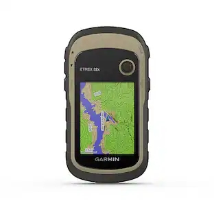
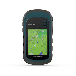
Explore with confidence with eTrex 32x, a rugged GPS handheld with preloaded maps and a 2.2” sunlight-readable color display. It comes with TopoActive mapping featuring routable roads and trails to explore when hiking or cycling. Add even more maps via the microSD card slot and 8 GB of internal memory. With dual-satellite support (GPS and GLONASS) and a 3-axis compass and barometric altimeter, it tracks in more challenging environments than GPS alone.
| Pros for Garmin - eTrex Touch 3" GPS Handheld Outdoor Navigator with Preloaded Maps for North America and Built-In Bluetooth - Black | |||
|---|---|---|---|
| There were no pros for this product— | There were no pros for this product— | Portability, GPS, Overall Performance, Connectivity, Size | There were no pros for this product— |
Specs
Customers often buy these together


More to consider
 $459.99The price was $484.92
 $199.99The price was $249.99

Enjoy your ride Sponsored
Discover related products
Keep exploring
 $509.99The price was $667.91