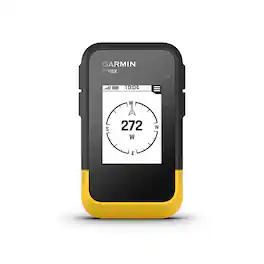
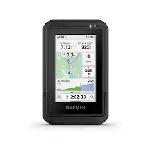
Garmin - eTrex SE 2.2" GPS with Built-In Bluetooth - Black
Related Item

Specifications
- Screen Size2.2 inchesTopographic MapsNoProgrammable RoutesYesWi-Fi Built-inNo
- Key Specs
- Screen Size: 2.2 inches (Size of the screen, measured diagonally from corner to corner.)
- Topographic Maps: false
- Programmable Routes: true
- Wi-Fi Built-in: false (Able to connect directly to a wireless network without the use of an adapter.)
- General
- Brand: Garmin
- Model Number: 010-02734-00
- Product Name: eTrex SE 2.2" GPS with Built-In Bluetooth
- Color: Black
- Designed Usage: Hiking, Geocaching, Outdoor
- Display
- Screen Size: 2.2 inches (Size of the screen, measured diagonally from corner to corner.)
- Color Display: false
- Resolution: 240 x 320 (Refers to the number of pixels, both horizontally and vertically, used to capture video/images. The higher the resolution the finer the detail that can be seen.)
- Display Type: LCD
- Map
- Integrated Base Maps: true
- Map Coverage Area: North America
- Number Of Waypoints: 1000
- Geocaching Mode: true
- Topographic Maps: false
- Uploadable Maps: false
- Navigation
- Programmable Routes: true
- Electronic Compass: true
- Environmental
- Water Resistant: true (Resists some degree of water penetration.)
- Maximum Depth Of Water Resistance: 3 feet (Measurement of the maximum depth of water in which the product is able to resist some degree of water penetration.)
- Barometric Altimeter: false
- Sun/Moon Information: true
- Hunt/Fish Calendar: false
- Features
- Location Reporting: true
- Pedestrian Mode: true
- Storage
- Expandable Storage: false
- Memory Card Slot: false
- Compatibility
- Computer Compatibility: Apple iOS, Android
- Connectivity
- Bluetooth Enabled: true (The device is capable of communicating with another device via Bluetooth, provided they are within the required range of each other. A Bluetooth-enabled device must also be the same Bluetooth version or higher than the accessory it is intended to pair with.)
- Number Of USB Port(s): 1 (The total number of USB ports including all generations and versions.)
- Wi-Fi Built-in: false (Able to connect directly to a wireless network without the use of an adapter.)
- Dimensions
- Product Height: 4 inches (The out of box height of the item. Height is measured as the vertical distance from the bottom of the item to the top as it would be primarily used or placed.)
- Product Width: 2.4 inches (The out of box width of the item. Width is measured as the horizontal distance from one side of the item to the other as it would be primarily used or placed.)
- Product Depth: 1.3 inches (The out of box depth of the item. Depth is measured as the distance from the front of the item to the back as it would be primarily used or placed.)
- Product Weight: 0.35 pounds (The out of box weight of the item.)
- Warranty
- Warranty - Parts: 1 year limited
- Warranty - Labor: 1 year limited
- Other
- UPC: 753759305628
Ready. Set. Hike. With the eTrex SE GPS handheld navigator, you’ll get battery life that lasts up to 168 hours with 2 AA batteries (not included). You’ll view waypoints, track your location and find your way back to favorite spots on the 2.2” high-resolution screen. You can pair it with the Garmin Explore app on your compatible smartphone for wireless software updates, Geocaching Live, wireless connectivity for cloud storage, Active Weather, smart notifications and more. It’s water-resistant (rated to IPX7) and offers multi-GNSS support to track in more challenging environments than GPS alone. With a digital compass that’s accurate even while standing still, it provides what you need to enjoy the outdoors more.
- Sunlight-readable, transflective monochrome display: With 240 x 320 pixel resolution for easily navigating through settings and functions.
- Compatibility: Stay tuned to the forecast with active weather on your route when paired to your Internet-enabled compatible smartphone.
- Rugged design: See your route clearly on the 3” sunlight-readable color display.
- Battery life: Get long battery life of up to 168 hours in standard mode and up to 1,800 hours in expedition mode with 2 field-replaceable AA batteries (not included).
- Multi-band GNSS support: Access multiple global navigation satellite systems (GPS, GLONASS, Galileo, BeiDou and QZSS) to track in more challenging environments than GPS alone.
- Geocaching: Get automatic cache updates from Geocaching Live, including descriptions, logs and hints. When connected to the Garmin Explore app with your Internet-enabled smartphone, each find will upload to your Geocaching.com profile.
- Digital compass: Follow your bearing on the digital compass, which provides an accurate heading even when stationary.
- Garmin Explore app: Connect to the Garmin Explore app with your Internet-enabled smartphone for wireless software updates, cloud storage, trip planning, smart notifications and additional mapping.
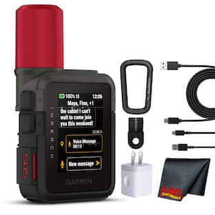
Whats Included
- eTrex SE
- Documentation
Q: What is the battery life of this GPS device?
A: The eTrex SE GPS handheld navigator provides a battery life of up to 168 hours in standard mode and up to 1,800 hours in expedition mode with 2 AA batteries.
Q: Can I use this GPS device for geocaching?
A: Yes, the eTrex SE GPS has a geocaching mode and allows automatic cache updates from Geocaching Live.
Q: How much internal memory does this GPS device have?
A: The eTrex SE GPS has an internal memory capacity of 0.25 gigabytes.
Q: Does this GPS device have a color display?
A: No, the eTrex SE GPS has a monochrome display, not a color display.
Q: Is this GPS device compatible with smartphones?
A: Yes, this GPS device can pair with the Garmin Explore app on compatible smartphones.
Q: Can I use this for driving?
A: undefined
Compare similar products
Ready. Set. Hike. With the eTrex SE GPS handheld navigator, you’ll get battery life that lasts up to 168 hours with 2 AA batteries (not included). You’ll view waypoints, track your location and find your way back to favorite spots on the 2.2” high-resolution screen. You can pair it with the Garmin Explore app on your compatible smartphone for wireless software updates, Geocaching Live, wireless connectivity for cloud storage, Active Weather, smart notifications and more. It’s water-resistant (rated to IPX7) and offers multi-GNSS support to track in more challenging environments than GPS alone. With a digital compass that’s accurate even while standing still, it provides what you need to enjoy the outdoors more.

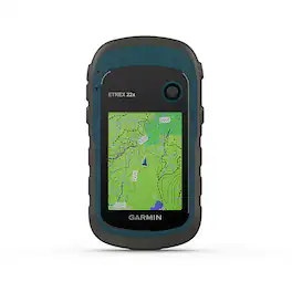
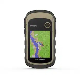
Explore with confidence with eTrex 32x, a rugged GPS handheld with preloaded maps and a 2.2” sunlight-readable color display. It comes with TopoActive mapping featuring routable roads and trails to explore when hiking or cycling. Add even more maps via the microSD card slot and 8 GB of internal memory. With dual-satellite support (GPS and GLONASS) and a 3-axis compass and barometric altimeter, it tracks in more challenging environments than GPS alone.

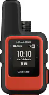
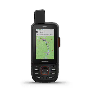
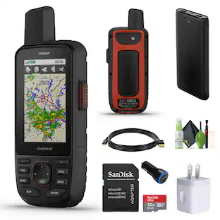
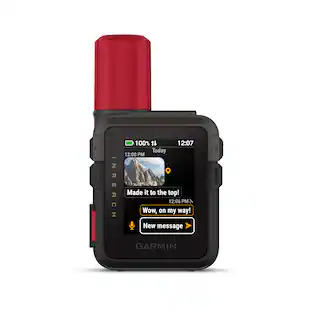
Go explore the outdoors — and stay connected to home — with the GPSMAP 67i handheld. Using inReach technology, this button-operated GPS handheld and satellite communicator enables two-way messaging and location tracking (active subscription required; some jurisdictions regulate or prohibit the use of satellite communications devices). You can also trigger an interactive SOS to Garmin Response, a 24/7 staffed emergency response coordination center. Navigate confidently with preloaded TopoActive mapping and satellite imagery. When paired with your compatible smartphone, you can access active weather forecasts and Geocaching Live. Use the Garmin Explore website or app on your compatible smartphone to help you plan trips and more, and download premium maps with an Outdoor Maps+ subscription. During extended activities, turn on expedition mode for up to 425 hours of battery life in 30-minute tracking mode.
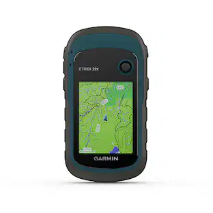
Explore with confidence with eTrex 22x, a rugged GPS handheld with a 2.2” sunlight-readable color display. It comes preloaded with TopoActive mapping featuring routable roads and trails to explore when cycling and hiking. Add even more maps via the microSD card slot and 8 GB of internal memory. With dual-satellite support (GPS and GLONASS), it tracks in more challenging environments than GPS alone.
Specs
Reviews
Rating 4.2 out of 5 stars with 5 reviews
The vast majority of our reviews come from verified purchases. Reviews from customers may include My Best Buy members, employees, and Tech Insider Network members (as tagged). Select reviewers may receive discounted products, promotional considerations or entries into drawings for honest, helpful reviews.
Customers often buy these together
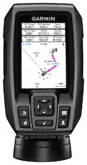
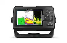
Garmin - Striker 4 Fishfinder GPS - Black
$130.99The price was $159.99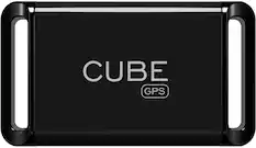
Cube - Vehicle and Pet GPS Tracker - Black
$59.99The price was $74.99


More to consider
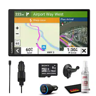
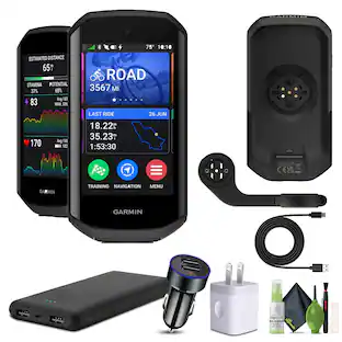
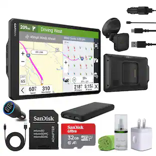
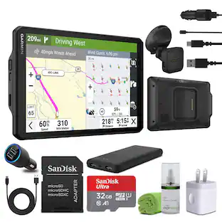
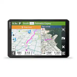
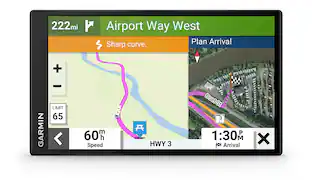
 $249.99The price was $349.99
Enjoy your ride Sponsored
Discover related products
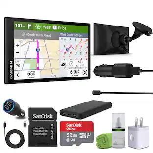
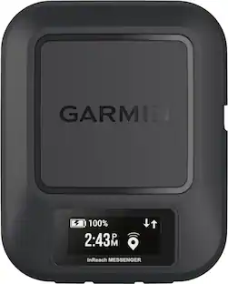
 $155.00The price was $175.00
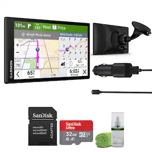
 $107.99The price was $209.99


Keep exploring
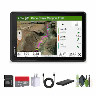
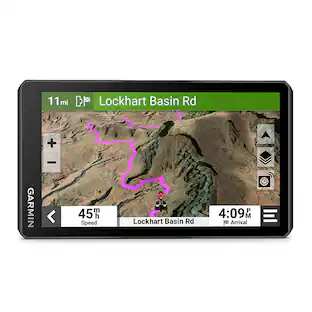
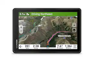
 $498.95The price was $514.95