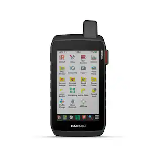
Garmin - Montana 700i 5" GPS with Built-in Bluetooth - Black
- Key Specs
- Screen Size: 5 inches (Size of the screen, measured diagonally from corner to corner.)
- Touch Screen: true (Touch-screen devices make navigating more intuitive. Using a touch-screen display, you can do things such as tap to select, hold and drag to move items, swipe to scroll, and pinch to zoom.)
- 3D-Map View: true
- Lifetime Map Updates: true
- Topographic Maps: true
- Programmable Routes: true
- Alerts: Incoming call, Incoming text
- Integrated Camera: false
- App Compatible: true (The product can be connected to a program or software application on a mobile device, which then receives collected data from the product.)
- Wi-Fi Built-in: true (Able to connect directly to a wireless network without the use of an adapter.)
- General
- Brand: Garmin
- Model Number: 010-02347-10
- Product Name: Montana 700i 5" GPS with Built-in Bluetooth
- Color: Black
- Designed Usage: Hiking, Geocaching, Outside
- Case Included: false
- Display
- Screen Size: 5 inches (Size of the screen, measured diagonally from corner to corner.)
- Touch Screen: true (Touch-screen devices make navigating more intuitive. Using a touch-screen display, you can do things such as tap to select, hold and drag to move items, swipe to scroll, and pinch to zoom.)
- Color Display: true
- 3D-Map View: true
- Resolution: 480 x 800 (Refers to the number of pixels, both horizontally and vertically, used to capture video/images. The higher the resolution the finer the detail that can be seen.)
- Backlit Display: true (Integrated lights allow for visibility of the display in low-light conditions.)
- Display Type: LCD
- Map
- Lifetime Map Updates: true
- Integrated Base Maps: true
- Map Coverage Area: U.S.
- Map Provider: Other
- Number Of Waypoints: 10000
- Geocaching Mode: true
- Topographic Maps: true
- Uploadable Maps: true
- Navigation
- Programmable Routes: true
- Emergency Services Locator: true
- Electronic Compass: true
- Environmental
- Water Resistant: true (Resists some degree of water penetration.)
- Maximum Depth Of Water Resistance: 3.2 feet (Measurement of the maximum depth of water in which the product is able to resist some degree of water penetration.)
- Barometric Altimeter: true
- Sun/Moon Information: true
- Hunt/Fish Calendar: true
- Temperature Display: true
- Features
- Location Reporting: true
- Alerts: Incoming call, Incoming text
- Integrated Camera: false
- Pedestrian Mode: true
- Storage
- Expandable Storage: true
- Memory Card Slot: true
- Memory Card Included: false (Indicates whether a memory card is included.)
- Compatibility
- App Compatible: true (The product can be connected to a program or software application on a mobile device, which then receives collected data from the product.)
- Computer Compatibility: Android, Apple iOS
- Connectivity
- Bluetooth Enabled: true (The device is capable of communicating with another device via Bluetooth, provided they are within the required range of each other. A Bluetooth-enabled device must also be the same Bluetooth version or higher than the accessory it is intended to pair with.)
- Number Of USB Port(s): 1 (The total number of USB ports including all generations and versions.)
- Wi-Fi Built-in: true (Able to connect directly to a wireless network without the use of an adapter.)
- Dimensions
- Product Height: 7.2 inches (The out of box height of the item. Height is measured as the vertical distance from the bottom of the item to the top as it would be primarily used or placed.)
- Product Width: 3.6 inches (The out of box width of the item. Width is measured as the horizontal distance from one side of the item to the other as it would be primarily used or placed.)
- Product Depth: 1.3 inches (The out of box depth of the item. Depth is measured as the distance from the front of the item to the back as it would be primarily used or placed.)
- Product Weight: 1.3 pounds (The out of box weight of the item.)
- Power
- Rechargeable Battery: true
- Battery Chemistry: Lithium-ion polymer
- Mounting
- Mount Included: false
- Warranty
- Warranty - Parts: 1 year limited
- Warranty - Labor: 1 year limited
- Other
- UPC: 753759257736
Stay in touch and on track with Montana 700i. This rugged GPS handheld combines TopoActive and City Navigator mapping for routable on- or off-road navigation with global two-way messaging and interactive SOS via inReach satellite technology (active satellite subscription required; some jurisdictions regulate or prohibit the use of satellite communications devices). The 5” color touchscreen features a full QWERTY keyboard for messaging and a display that’s 50% larger than earlier models. Multi-GNSS support and sensors for the 3-axis compass and barometric altimeter put a world of outdoor navigation capability within your grasp. Plus, wireless pro-connectivity gives you direct-to-device access to BirdsEye Satellite Imagery downloads, location sharing, Connect IQ app support and more. Pair with a compatible smartphone to access Active Weather forecasts. Extend battery life for more than a week with the new ultralow-powered Expedition mode. For hunters and trainers, the IPX7-rated unit syncs with compatible Astro or Alpha series handhelds (sold separately) to help track sporting dogs in the field.
- Topoactive Maps: To navigate your adventures, use preloaded topographical maps for the U.S. and Canada. View terrain contours, elevations, coastlines, rivers, landmarks and more.
- Bluetoth Enabled: Receive emails, texts and alerts right on your handheld when paired with your compatible device.
- Color Display: Expect big things. A large 5" color touchscreen puts them all at your fingertips.
- Public Land Boundaries: An optional display of federal public land boundaries on topographical maps helps you know that you’re venturing where you’re supposed to be.
- ABC Sensors: Navigate your next trail with ABC sensors, including an altimeter for elevation data, barometer to monitor weather and 3-axis electronic compass.
- Active Weather: Use cellular connectivity* to access up-to-date Active Weather forecasts through the Garmin Connect app.
- Dog Tracking: For hunters and trainers, this Montana syncs with compatible Astro or Alpha series handhelds (sold separately) to help track sporting dogs in the field.
- Location Sharing: The LiveTrack feature lets you wirelessly connect* your device with other compatible Garmin GPS users, so they can follow your tracks, routes, waypoints and adventures.
- Two-Way Messaging: Exchange text messages with loved ones, post to social media, or communicate via inReach device to inReach device in the field (active satellite subscription required)*.
- Global Connectivity: Instead of relying on cellphone coverage, now your messages, SOS and tracking are transferred via the 100% global Iridium satellite network (active satellite subscription required)*.
- Interactive SOS: In case of emergency, trigger an interactive SOS message to GEOS, the Garmin-powered International Emergency Response Coordination Center (IERCC) with professional 24/7 global monitoring and response center (active satellite subscription required)*.
- Disclaimer: Traffic content not available for all areas. See www.navteq.com/rdstraffic for traffic coverage areas
- Disclaimer: Many of the “updates” and “live information” features are only available when connected to an Internet-enabled smartphone
- Disclaimer: Additional fees may apply.
Whats Included
- Montana 700i
- USB cable
- Lithium-ion battery pack
- Documentation
Q: Can I use this GPS device to track my dog in the field?
A: Yes, when paired with a compatible Astro or Alpha series handheld (sold separately), you can track sporting dogs.
Q: Does this GPS device have a touch screen?
A: Yes, the Montana 700i features a color touch screen.
Q: How many waypoints can I save on this GPS device?
A: The Montana 700i can store up to 10,000 waypoints.
Q: What is the screen size of this GPS device?
A: The Montana 700i has a 5-inch screen.
Q: What type of maps are preloaded on the Montana 700i?
A: This GPS device comes preloaded with topographical maps for the U.S. and Canada.
Q: Does this GPS device come with a built-in compass?
A: Yes, the Montana 700i has a 3-axis electronic compass.
A: The 700i has InReach capability and has the City Navigator maps pre-installed.
Q: this GPS is compatíble in Brazil?
A: Global Positioning Device. I believe Brazil is on the Globe.
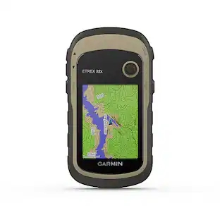
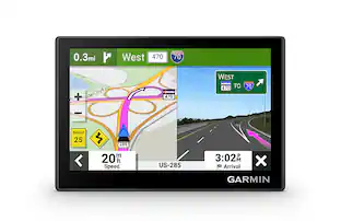
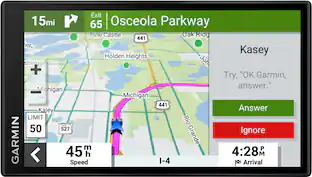
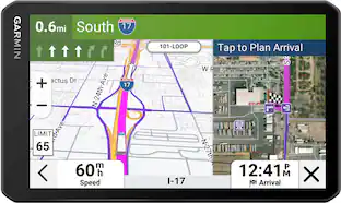
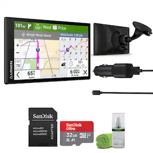
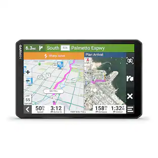
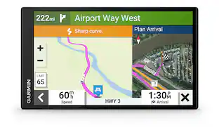
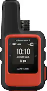
People also viewed
 $312.99The price was $349.99
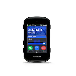 $499.99The price was $599.99
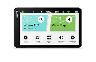 $420.99The price was $449.99
Today's top picks
- $312.99The price was $349.99
- $499.99The price was $599.99
- $420.99The price was $449.99