Point And Shoot Cameras With Gps
-
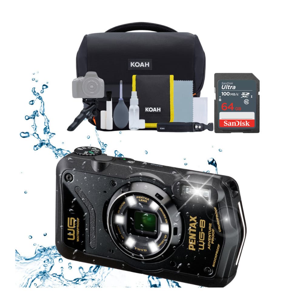
PENTAX - WG-8 Black Bundle
SKU: JJG2FXGQ36See all Point & Shoot CamerasProduct Description
A rugged black camera with 16MP BSI CMOS sensor, 5× optical zoom, Full HD video, and built-in GPS.Your price for this item is $479.99 -
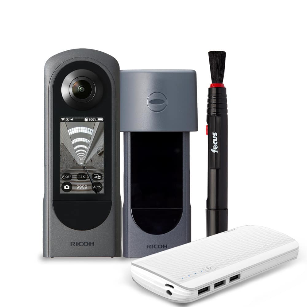
Ricoh - THETA X 360-Degree Camera Bundle with Lens Cap, Powerbank and Cleaning Pen
SKU: JJG2FXPT3KSee all Point & Shoot CamerasProduct Description
A 360-degree camera bundle capturing 48MP stills and 4K video, with Bluetooth, GPS, and interchangeable battery.Your price for this item is $549.99Save $100The previous price was $649.99 -
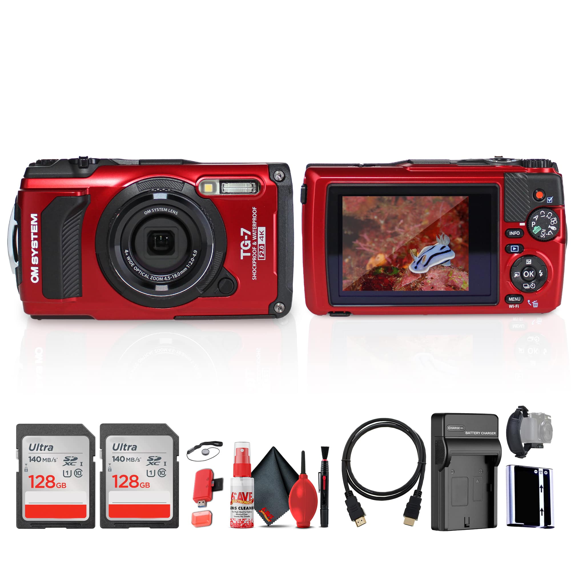
Bundle - OM System - Tough TG-7 Digital Camera (Red)
SKU: J7QPQZWLSHSee all Point & Shoot CamerasProduct Description
A rugged red camera bundle offering 12MP BSI CMOS sensor, 4K video, Wi-Fi, and extreme durability.Your price for this item is $560.99
Best Sellers


Related Pages


FAQ
A point and shoot camera with GPS allows you to automatically tag your photos with location data. This makes it easy to organize your pictures by where they were taken and helps you remember your travel experiences.
Yes, most point and shoot cameras with GPS embed location data in the photo's metadata. You can view this information using photo management software or mapping applications that support geotagged images.
GPS functionality typically works best outdoors where the camera has a clear view of the sky. Indoors or in dense urban areas, GPS signal may be weaker or unavailable.
Many photo organization and mapping apps, such as Google Photos and Adobe Lightroom, can read and display GPS data from your images, letting you see exactly where each photo was taken.
Using GPS can increase battery consumption, as the camera needs to maintain a connection with satellites. Some cameras allow you to turn GPS on or off to help conserve battery when location tagging is not needed.