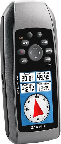
Garmin - GPSMAP 78 GPS - Gray
- Key Specs
- Screen Size: 2.6 inches (Size of the screen, measured diagonally from corner to corner.)
- Touch Screen: false (Touch-screen devices make navigating more intuitive. Using a touch-screen display, you can do things such as tap to select, hold and drag to move items, swipe to scroll, and pinch to zoom.)
- 3D-Map View: false
- Lifetime Map Updates: false
- Chartplotter: false
- Topographic Maps: false
- Points Of Interest: 0
- Programmable Routes: true
- General
- Brand: Garmin
- Model Number: Gpsmap78
- Product Name: GPSMAP 78 GPS
- Color: Gray
- Designed Usage: Marine
- Display
- Screen Size: 2.6 inches (Size of the screen, measured diagonally from corner to corner.)
- Touch Screen: false (Touch-screen devices make navigating more intuitive. Using a touch-screen display, you can do things such as tap to select, hold and drag to move items, swipe to scroll, and pinch to zoom.)
- Color Display: true
- 3D-Map View: false
- Resolution: 160 x 240 (Refers to the number of pixels, both horizontally and vertically, used to capture video/images. The higher the resolution the finer the detail that can be seen.)
- Backlit Display: false (Integrated lights allow for visibility of the display in low-light conditions.)
- Multi Window Display: false
- Map
- Lifetime Map Updates: false
- Integrated Base Maps: true
- Map Provider: Navteq
- Number Of Waypoints: 2000
- Geocaching Mode: true
- Chartplotter: false
- Topographic Maps: false
- HD Mapping: false
- Optional Chart Upgrades: true
- Navigation
- Points Of Interest: 0
- Programmable Routes: true
- Voice Prompts: false
- Environmental
- Water Resistant: true (Resists some degree of water penetration.)
- Maximum Depth Of Water Resistance: 3.28 feet (Measurement of the maximum depth of water in which the product is able to resist some degree of water penetration.)
- Sun/Moon Information: false
- Hunt/Fish Calendar: true
- Features
- Location Reporting: true
- Hand Strap: true
- Text-To-Speech: false (A system that converts language text into speech.)
- Storage
- Expandable Storage: true
- Memory Card Slot: true
- Memory Card Included: false (Indicates whether a memory card is included.)
- Compatibility
- Computer Compatibility: Windows
- Connectivity
- Bluetooth Enabled: false (The device is capable of communicating with another device via Bluetooth, provided they are within the required range of each other. A Bluetooth-enabled device must also be the same Bluetooth version or higher than the accessory it is intended to pair with.)
- Number Of USB Port(s): 1 (The total number of USB ports including all generations and versions.)
- Dimensions
- Product Height: 6 inches (The out of box height of the item. Height is measured as the vertical distance from the bottom of the item to the top as it would be primarily used or placed.)
- Product Width: 2.63 inches (The out of box width of the item. Width is measured as the horizontal distance from one side of the item to the other as it would be primarily used or placed.)
- Product Depth: 1.25 inches (The out of box depth of the item. Depth is measured as the distance from the front of the item to the back as it would be primarily used or placed.)
- Product Weight: 7.7 pounds (The out of box weight of the item.)
- Warranty
- Warranty - Parts: 1 year limited
- Warranty - Labor: 1 year limited
- Other
- UPC: 753759100902
Navigate easily as you go boating, fishing or hunting with this GPS that features a high-sensitivity WAAS receiver for reliable use in cloudy conditions or wooded areas. A preloaded worldwide base map helps you find your way.
- Preloaded worldwide base map: Allows you to navigate with ease.
- 2.6" transflective, color TFT display: With 160 x 240 pixel display resolution allows you to easily navigate settings and functions day or night on the large, bright display.
- 2,000 waypoints, 200 routes, 10,000 points and 200 saved tracks: Guide you towards interesting and useful destinations.
- Hunting and fishing calendar: Provides useful information. Sun and moon information also included.
- Supports BirdsEye Satellite Imagery (subscription required): For downloading satellite images to your device and integrating them with your maps.
- Batteries required: 2 AA batteries (not included).
- High-sensitivity, WAAS-enabled GPS receiver: Enhances performance in heavy cloud cover, wooded areas and canyons so you don't have to worry about losing the satellite link. WAAS is Wide Area Augmentation System.
- Floating, water-resistant case: Ideal for use in marine environments.
- Compact design: For go-anywhere portability. Molded rubber side grips make the GPS easy to carry in your hand.
- Built-in microSD card slot: Allows you to add additional detailed marine, topographic and road maps (media not included).
Whats Included
- Garmin GPSMAP 78 GPS
- Owner's manual
Q: What map card would need to be purchased to use this gps in near coastal south florida waters?
A: The GPSMAP 78, is not able to read our newer sd cards with the coastal maps. If you can locate an older chart then it will be compatible. For more information contact us at [email protected] or visit our Support Center, https://support.garmin.com/en-US/. Thanks Jenny
A: The TracBack feature allows you to navigate back along your previously recorded track. For more information contact us at [email protected] or visit our Support Center, https://support.garmin.com/en-US/ Thanks Jenny
A: Possibly. According to our Marine specialists, it would be depend on the location and detail needed. as the GPSMAP 78 only comes with a worldwide basemap. You may contact support for that conversation by going to our support page here: j.mp/GRMNSupport \tw/
People also viewed
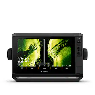

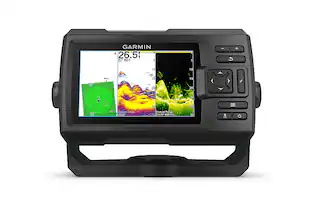
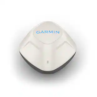
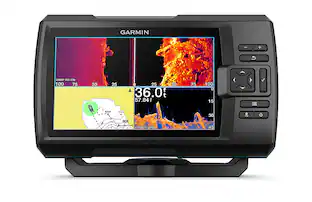


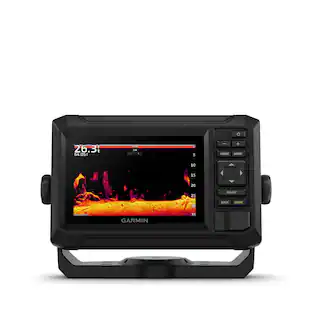

Today's top picks
 $479.99The price was $729.99
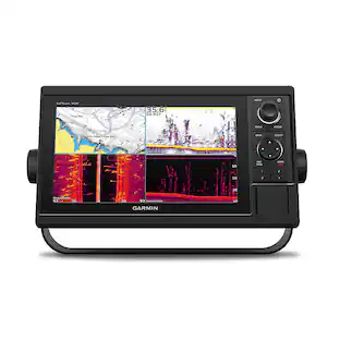
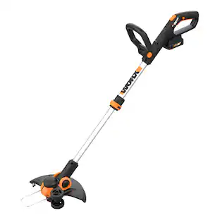 $69.99The price was $129.99
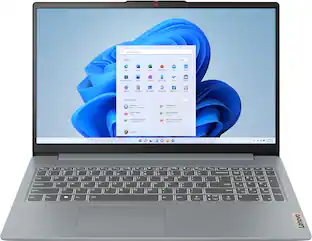
 $199.99The price was $249.99
 $49.99The price was $62.99