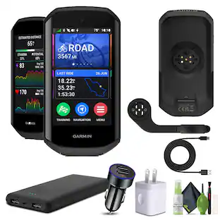
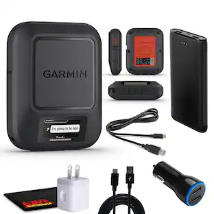
Garmin - Montana 750i 5" GPS with Built-in Bluetooth - Black
About this product
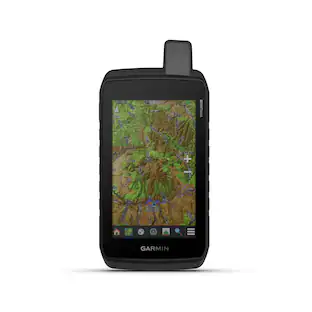
Montana 750i is the ruggedly versatile GPS navigator and satellite communicator that keeps you in touch and on track. It combines TopoActive and City Navigator mapping with global two-way messaging and interactive SOS via inReach satellite technology (active satellite subscription required; some jurisdictions regulate or prohibit the use of satellite communications devices) — plus a built-in 8-megapixel camera to capture your outdoor adventures. The 5” color touchscreen features a full QWERTY keyboard for messaging and a display that’s 50% larger than earlier models. It includes multi-GNSS support plus sensors for the 3-axis compass and barometric altimeter. Wireless pro-connectivity gives you direct-to-device access to BirdsEye Satellite Imagery downloads, location sharing, Connect IQ app support and more. Pair with a compatible smartphone to access Active Weather forecasts. Extend battery life for more than a week with the new ultralow-powered Expedition mode. For hunters and trainers, the IPX7-rated unit syncs with compatible Astro or Alpha series handhelds (sold separately) to help track sporting dogs in the field.
Features
Topoactive Maps
To navigate your adventures, use preloaded topographical maps for the U.S. and Canada. View terrain contours, elevations, coastlines, rivers, landmarks and more.
Bluetoth Enabled
Receive emails, texts and alerts right on your handheld when paired with your compatible device.
Color Display
Expect big things. A large 5" color touchscreen puts them all at your fingertips.
Public Land Boundaries
An optional display of federal public land boundaries on topographical maps helps you know that you’re venturing where you’re supposed to be.
ABC Sensors
Navigate your next trail with ABC sensors, including an altimeter for elevation data, barometer to monitor weather and 3-axis electronic compass.
Active Weather
Use cellular connectivity* to access up-to-date Active Weather forecasts through the Garmin Connect app.
Dog Tracking
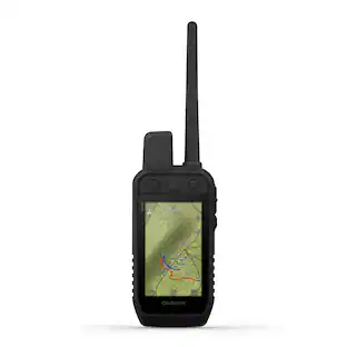
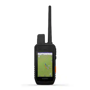
For hunters and trainers, this Montana syncs with compatible Astro or Alpha series handhelds (sold separately) to help track sporting dogs in the field.
Location Sharing
The LiveTrack feature lets you wirelessly connect* your device with other compatible Garmin GPS users, so they can follow your tracks, routes, waypoints and adventures.
Two-Way Messaging
Exchange text messages with loved ones, post to social media, or communicate via inReach device to inReach device in the field (active satellite subscription required)*.
Global Connectivity
Instead of relying on cellphone coverage, now your messages, SOS and tracking are transferred via the 100% global Iridium satellite network (active satellite subscription required)*.
Interactive SOS
In case of emergency, trigger an interactive SOS message to GEOS, the Garmin-powered International Emergency Response Coordination Center (IERCC) with professional 24/7 global monitoring and response center (active satellite subscription required)*.
Built-In Camera
Capture images of your exploits with Montana’s digital 8-megapixel camera. It geotags photos with coordinates, so you can navigate back to favorite sites in the future.
Disclaimer
Traffic content not available for all areas. See www.navteq.com/rdstraffic for traffic coverage areas
Disclaimer
Many of the “updates” and “live information” features are only available when connected to an Internet-enabled smartphone
Disclaimer
Additional fees may apply.
Specifications
- Screen Size5 inchesTouch ScreenYes3D-Map ViewYesLifetime Map UpdatesYesTopographic MapsYesProgrammable RoutesYes
Reviews
Rating 4 out of 5 stars with 4 reviews
The vast majority of our reviews come from verified purchases. Reviews from customers may include My Best Buy members, employees, and Tech Insider Network members (as tagged). Select reviewers may receive discounted products, promotional considerations or entries into drawings for honest, helpful reviews.

Compare similar products

Montana 750i is the ruggedly versatile GPS navigator and satellite communicator that keeps you in touch and on track. It combines TopoActive and City Navigator mapping with global two-way messaging and interactive SOS via inReach satellite technology (active satellite subscription required; some jurisdictions regulate or prohibit the use of satellite communications devices) — plus a built-in 8-megapixel camera to capture your outdoor adventures. The 5” color touchscreen features a full QWERTY keyboard for messaging and a display that’s 50% larger than earlier models. It includes multi-GNSS support plus sensors for the 3-axis compass and barometric altimeter. Wireless pro-connectivity gives you direct-to-device access to BirdsEye Satellite Imagery downloads, location sharing, Connect IQ app support and more. Pair with a compatible smartphone to access Active Weather forecasts. Extend battery life for more than a week with the new ultralow-powered Expedition mode. For hunters and trainers, the IPX7-rated unit syncs with compatible Astro or Alpha series handhelds (sold separately) to help track sporting dogs in the field.
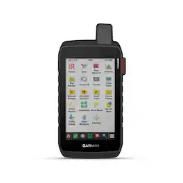
Stay on track and in touch with the rugged Montana 760i handheld GPS navigator with inReach technology. Built to guide you through all kinds of adventures, it includes TopoActive mapping and a glove-friendly 5” color touchscreen. When you go beyond the limits of cell service, stay connected with inReach technology for two-way messaging, live tracking and interactive SOS alerts to the Garmin Response team, a 24/7-staffed international emergency response coordination center (active subscription required; some jurisdictions regulate or prohibit the use of satellite communication devices). Capture and tag the location of your photos along the way with the built-in camera. Expanded 32 GB memory capacity lets you store more maps to keep your expeditions on course. High-resolution satellite imagery, available via subscription-free, direct-to-device downloads (requires a connection with Wi-Fi technology), shows a clear overhead view of your route and surrounding terrain. Get the on- or off-road capabilities you need with multi-GNSS support and ABC sensors. Add ongoing access to Outdoor Maps+ (sold separately) for a wide variety of premium mapping content. Explore longer with up to 24 hours of battery life in GPS mode and up to 432 hours in ultralow-powered expedition mode, and recharge easily with a standard USB-C cable. Plus, Montana 760i meets MIL-STD 810 for thermal, shock and vibration and is rated IPX7 for water-resistance.

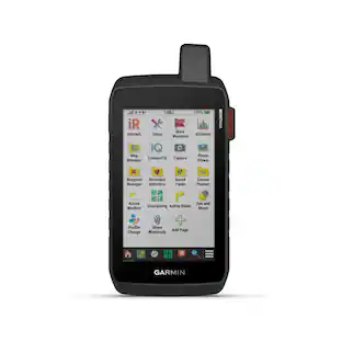
Stay on track with the rugged Montana 710 handheld GPS navigator. Built to guide you through all kinds of adventures, it includes TopoActive mapping and a glove-friendly 5” color touchscreen. Expanded 32 GB memory capacity lets you store more maps to keep your expeditions on course. High-resolution satellite imagery, available via subscription-free, direct-to-device downloads (requires a connection with Wi-Fi technology), shows a clear overhead view of your route and surrounding terrain. Get the on- or off-road capabilities you need with multi-GNSS satellite network support and ABC sensors. Add ongoing access to Outdoor Maps+ (sold separately) for a wide variety of premium mapping content. Explore longer with up to 24 hours of battery life in GPS mode and up to 432 hours in ultralow-powered expedition mode, and recharge easily with a standard USB-C cable. Plus, Montana 710 meets MIL-STD 810 for thermal, shock and vibration and is rated IPX7 for water-resistance.

Roam the unknown with the rugged Tread 2 powersport navigator. The 6” high-resolution, ultrabright and glove-friendly touchscreen will show you the way in extreme terrain, temperatures and weather (IP67 water rating). Get turn-by-turn navigation for unpaved roads and trails for all the kinds of places you love to ride with OpenStreetMap, U.S. Forest Service Motor Vehicle Use Maps, Adventure Roads and Trails map content, and snowmobile-accessible trails and locations in the U.S. and Canada. Venture on- and off-road with high-definition digital elevation maps, private and public land boundaries, and City Navigator maps. Download subscription-free satellite imagery for high-resolution overhead views of routes and terrain (requires a connection with Wi-Fi technology). Support for Outdoor Maps+ (subscription required) allows you to download additional premium mapping such as slope angle, slope aspect, avalanche risk report and more. Track your friends’ locations with the Tread app via the group ride mobile feature when downloaded to your and each friend’s compatible smartphones (requires active cellular connections) enabled with Bluetooth technology. Or, pair Tread 2 with the 6” Group Ride Radio accessory for voice communication and tracking outside of a cellular network (sold separately; group tracking is available for riders using a compatible Garmin navigator and requires connection to vehicle power).
Specs
Questions & Answers
It says you can receive calls and texts. How do you send them? Or can you?
Answered by GarminProductExpertYou can receive smartnotifications on the Montana 750i. Thank you for choosing Garmin. For further assistance please contact us at Product.Support@garmin.com or visit our Support Center, https://support.garmin.com/en-US/. Garmin

How many waypoints can I store on this GPS?
The Montana 750i can store up to 10,000 waypoints.
This question and answer was generated by AI based on customer and product data.Can I use this device to track my dog in the field?
Yes, this Montana GPS can sync with compatible Astro or Alpha series handhelds to track sporting dogs.
This question and answer was generated by AI based on customer and product data.What is the screen resolution of this GPS device?
The screen resolution is 480 x 800.
This question and answer was generated by AI based on customer and product data.Is this GPS device waterproof?
Yes, the Montana 750i is water-resistant up to 3.2 feet.
This question and answer was generated by AI based on customer and product data.
More to consider

Enjoy your ride Sponsored

Discover related products
Keep exploring
 $917.99The price was $939.95