This item is no longer available in new condition. See similar items below
Customers are saying
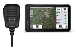
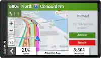
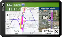
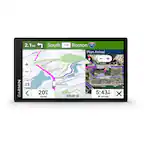
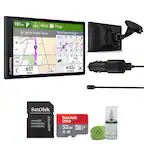
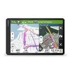
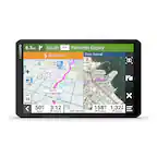
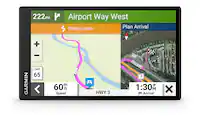
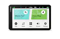
Customers often highlight the accurate GPS functionality of the Tread 5.5" GPS with Built-In Bluetooth. Positive feedback frequently mentions its reliable performance in various locations. There were no negative customer comments reported.
This summary was generated by AI based on customer reviews.
Customer Images
The vast majority of our reviews come from verified purchases. Reviews from customers may include My Best Buy members, employees, and Tech Insider Network members (as tagged). Select reviewers may receive discounted products, promotional considerations or entries into drawings for honest, helpful reviews.